
Looking Up West Hollywood Neighbors
A block lookup has several layers. The parcel map shows which polygons touch the starting address. The Assessor detail identifies AIN and property facts. A city file can show a public project or permit applicant. A reverse directory can show a listed adult at an older date. A neighborhood-watch page supplies a named group and its boundaries. The table keeps the source, block fact, and access route separate.
| Source | What it shows about a block | Access |
|---|---|---|
| Assessor GIS and detail | Adjacent AINs, parcel shape, situs, property facts | Free map and detail portal |
| City permits and planning | Address projects, applicants, public hearings | Portal or focused Clerk request |
| Voter Street Index | Registered-voter geography under an approved purpose | Paid, contracted, restricted |
| Historic reverse directory | Listed adults or businesses by number and year | LAPL scan, shelf, or reference help |
| Neighborhood Watch page | Named group and precise coverage blocks | Free city page; no private roster |
| Public-safety registry | Officially posted custody or registry information | State or county portal with warnings |
These are block clues, not a full household directory. A result should say what it confirms and what it leaves out. That plain label protects the reader from turning an owner, applicant, or historical listing into a claim about every household on the block.
Map Parcels Around a West Hollywood Neighbor Address
The LA County GIS viewer supports an adjacent-parcel method. Search or zoom to the starting address, click the target polygon, record its AIN and attributes, then click touching parcels clockwise. Pan across the street and repeat. Keep the target, side parcels, corner parcels, and opposite-side parcels in separate notes. Map scale and measure tools help define the immediate block, but the viewer does not supply a verified resident radius or a legal survey.
- Open the LA County Parcel Viewer and locate the address.
- Click the target parcel and save the AIN, situs, shape, and legal or map clues.
- Click adjacent parcels one at a time, moving clockwise around the target.
- Pan across the street and mark which polygons belong to the same block segment.
- Open each AIN in the Assessor detail and keep property facts separate from people claims.
The parcel map is most useful when paired with the Assessor Property Search. A corner lot, condominium map, or large multifamily parcel can make a simple street-number count wrong. Start with geometry, then verify the parcel identity.
The West Hollywood street directory handles a whole named street and its deed chain. The block search stays with the immediate radius around one address.
Separate West Hollywood Neighbor Parcels from Households
A parcel neighbor is land next to the target parcel. A household neighbor is a person or group connected to a dwelling. Public property records are much better at the first question. The Assessor may show AIN, situs, use, characteristics, assessed values, and a mailing clue. A matching mailing and situs address can support an ownership link, but it does not prove owner occupancy.
Household members, private delivery accounts, utility customers, DMV addresses, minors, and protected residents are outside a lawful public block inventory. A voter file is not the missing list. California Elections Code sections 2180 through 2194 limit voter-file access and use, and Safe at Home can protect a participant's address.
City permits and planning files add public project history. They may name an applicant, owner, architect, contractor, or public correspondent. Those roles belong to the project record. They should not be expanded into a statement that the person lived at the parcel.
The West Hollywood City Clerk public-record route is the right channel for an existing city file when a precise address or AIN is known.
West Hollywood Neighbor Watch Groups
West Hollywood's Neighborhood Watch page supplies public group names, block boundaries, and a Public Safety liaison. It does not publish a private member roster. That distinction makes the page useful for community contact without turning it into a list of households. The groups below are the named local layer found in the research.
| Group | Published boundary or area |
|---|---|
| Norma Triangle | Doheny to San Vicente; Vista Grande to Santa Monica |
| Tri-West | Huntley to La Cienega; Santa Monica to Melrose |
| West Hollywood West Residents Association | Doheny to La Cienega; Beverly to Melrose |
| West Hollywood Heights | Named city watch area |
| West Hollywood North | Named city watch area |
| 900-1000 N. Kings Road | Kings Road block group |
| Flores Street, Gelson Heights | Named local area |
| WeHo East and Plummer Park | Named city watch areas |
Other city-listed groups include Cynthia-Sunset, 1100 N. Kings Road, Harper/Sweetzer, City Center United, Owls around Ogden, Orange Grove, and Genesee. The published liaison is safety@weho.org and (323) 848-6414. Contact should go through the city or an association's public channel, never through a request for private member data.
The City of West Hollywood Neighborhood Watch page is the source for group names and block boundaries.
What the West Hollywood Street Index Allows for Neighbor Research
LA County describes a Street Index and other voter-file products, but the access path is controlled. An application asks for applicant and beneficiary identity, organization, exact data and geography, approved purpose, intended use, security plan, credentials, and signed certifications. The county publishes separate prices for a general-public Street Index, countywide files, precinct or district files, and extra files. A ZIP or street address does not bypass the purpose rule.
Full voter records can include name, residence, mailing address, registration date, precinct, district, party preference, status, and participation history where authorized. Driver's-license and state-ID numbers, the last four Social Security digits, unique identifiers, and signatures are excluded. Voted Index and vote-by-mail information have their own controlled routes. Casual block browsing is not the function of the product.
The LA County voter-information request page gives the formal channel. For a personal check, the status form requires last name, birthdate, house number, and ZIP and is not a block list.
Historic West Hollywood Neighbor Blocks in Reverse Directories
A historic block can be read through LAPL reverse directories from 1906, 1927, and 1956 through 1987. The street section arranges number, block, and listed adult or business. Pair it with the alphabetical section, the book's abbreviation key, and a current parcel map. Older volumes may use Sherman, Hollywood, Los Angeles, a shortened street name, or an OCR form that does not match modern search text.
Copy the volume year, page, street form, h or r notation, spouse or wid notation, and any business line. A listing shows the publication-time entry. It does not establish current households. The 1906 Street and Avenue Guide can bridge an old abbreviation, while census schedules and newspapers can add household or family context.
LAPL's digitized directory collection is the historical block source. Its scans are useful when OCR misses a number or a surname.
West Hollywood Public Safety Records Have Limits
County and state public-safety portals are not a complete history of a block. The Los Angeles County Sheriff's Inmate Information Center can show current booking or custody details where published. The California CDCR incarcerated-person locator is a separate state custody lookup. The California Megan's Law site provides name, map, or address-radius modes for information posted under state law. A booking is not a conviction. Registry absence is not a safety guarantee. Data can lag or be limited by statute.
Use an official source, read its warning, and do not confront anyone based on a search result. For an immediate threat, call 911. For a local nonemergency or suspicious incident, the LASD West Hollywood Station is at 780 North San Vicente Boulevard and (310) 855-8850. A public record only proves that a custodian posted an entry, not that a neighbor is dangerous.
The California Megan's Law search is the source captured for the registry layer.
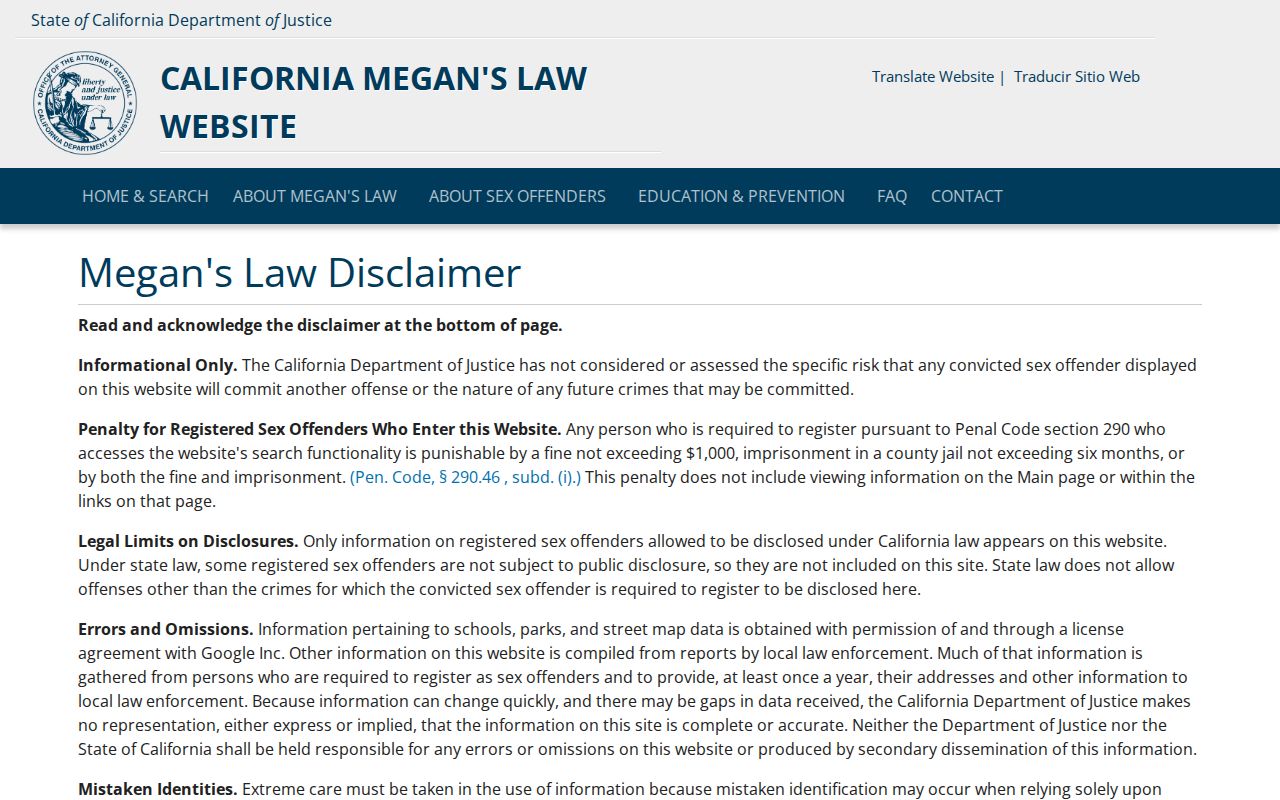
The registry image belongs to the public-safety boundary, not to the parcel map. It should never be used to infer a complete list of people on a street.
The LASD Inmate Information Center is a separate custody lookup.
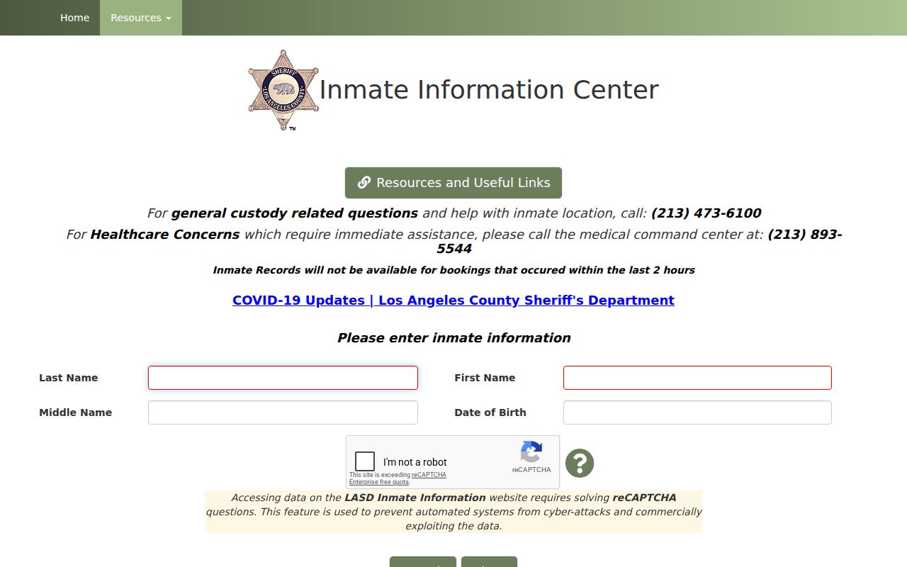
A custody result is time-sensitive and limited. Confirm case information with the official court before relying on it.
Compare Official West Hollywood Rolls and Neighbor Tools
Commercial neighbor tools may blend assessor, marketing, and inferred household data. Official records also have gaps, but their keeper, search key, date, and access rule are visible. Compare the category before choosing a source.
| Source type | Strength | Weakness |
|---|---|---|
| Assessor and GIS | Parcel geometry, AIN, situs, property facts | Does not show every household member |
| City permit or planning file | Public project, address, applicant, dates | Applicant may not be a resident |
| Historic reverse directory | Listed adult or business at a past date | Publication gaps, OCR, omissions |
| Controlled voter file | Purpose-approved voter geography | Restricted use and protected fields |
| Commercial neighbor category | May combine many data feeds | Stale, merged, inferred, and hard to verify |
The official path is slower when a custodian holds an office-only index, but it gives a source that can be checked. A block search should favor a dated parcel, permit, directory, or public group boundary over a blended claim about a household.
Verify a West Hollywood Neighbor Block With Two Sources
A block claim becomes more useful when two independent sources agree on the same address and date. GIS can identify adjacent AINs. Assessor detail can confirm situs and property type. A permit can date a public project. A reverse directory can add a listed adult from an earlier year. A neighborhood-watch page can confirm group coverage but not membership.
- Write the starting address, source date, and question in one line.
- Map the target and adjacent parcels, saving AINs rather than names alone.
- Select a second source that answers the same time and role question.
- Compare address form, parcel, date, and record role.
- State the gap if the two sources disagree or one source is historical.
This method keeps an immediate-block lookup distinct from a whole-street chain. It also makes a negative result honest. A missing person from a public listing may reflect privacy, timing, or the wrong record type.
Privacy Limits on a West Hollywood Neighbor Lookup
Household relationships, private utility and delivery accounts, DMV addresses, minors, protected voters, Safe at Home participants, and private organization rosters are not part of a lawful public block inventory. California stalking and electronic-publication laws also make harmful use of identifying information a serious legal boundary. Public records exist for defined public and personal purposes, not for intimidation.
The Safe at Home program can place a substitute address into an eligible participant's public-record workflow. A missing address can therefore be a protection, not a data error. If a public record is wrong, contact its original custodian and keep the parcel, case, license, or record identifier.
Lawful personal use. Use West Hollywood neighbors research to understand a block, find a public civic contact, trace a known property, or support personal safety awareness. Do not use a map, roll, registry, or directory to stalk, harass, intimidate, or harm another person.
A careful block result ends with a boundary, a source date, and a clear description of what the source does not show.